New map showcases community buildings across Causeway Coast and Glens
Fri, October 11, 2019
Causeway Coast and Glens Borough Council has released a new interactive map which showcases community buildings available for public use across the region.
The map includes details of nearly 300 facilities ranging from community centres, church halls, social clubs, sports clubs, cultural centres, schools, libraries and a range of other venues in approximately 70 settlements. The information was gathered through face to face surveys with community facility providers as part of a Shared Spaces and Services research project supported by the EU’s PEACE IV Programme, managed by the Special EU Programmes Body (SEUPB).
It is hoped the new map will encourage greater use of community buildings and help promote lesser-known facilities and what they can offer as well as opening up more shared use of community facilities in the area.
Speaking about the project, the Mayor of Causeway Coast and Glens Borough Council Councillor Sean Bateson said: “Over the past 18 months two years we have been asking for those who operate community facilities to take part in our mapping survey and the response has been fantastic. This user-friendly map is the outcome of this work and we would like to thank those who participated in the survey and hope that this interactive tool will be of benefit to all of the residents in the Borough in helping them locate facilities best suited to their needs as well as enabling facilities to gather more users as a result.”
Speaking at the launch, Cllr Dermot Nicholl, Chair of the Causeway Coast and Glens PEACE IV Partnership, added: "This is a really useful digital resource and uncovers the wealth of local community assets within Causeway Coast and Glens. It’s an example of one of many projects funded by the European Union’s Peace IV project which committed £3.8 million to the Causeway Coast and Glens region and demonstrates the benefit of the funding to the community on the ground.”
The map can be accessed by clicking here: http://cbcni.maps.arcgis.com/apps/webappviewer/index.html?id=1400630da5144c6dabdf1722d6e8c634
The project was a joint initiative between the Community Development and Digital Mapping teams in Council and they have highlighted that, while they made every effort to contact community facility providers, if there are any that they have missed, or any who declined to participate but who would now like to be included, they should contact community.development@causewaycoastandglens.gov.uk to arrange a facility survey.
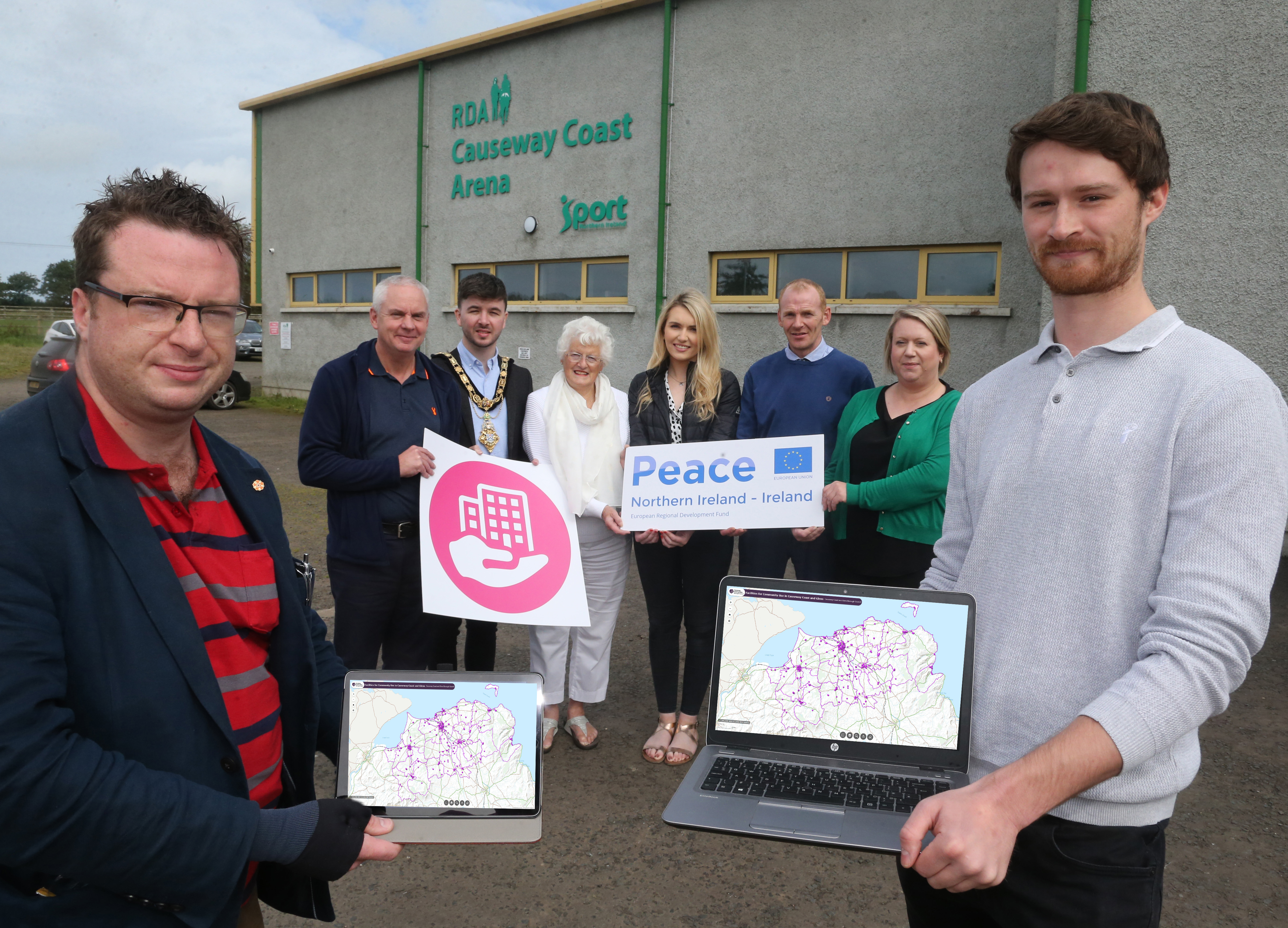
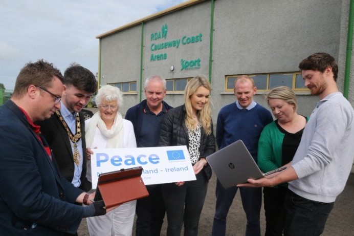
Pictured at the launch of the Peace IV Community Facilities Mapping Project with the Mayor of Causeway Coast and Glens Borough Council Councillor Sean Bateson is Andrew Charles, Peace IV Officer, Councillor Dermot Nicholl, Chair of the Causeway Coast and Glens PEACE IV Partnership, Patricia Crossley, Vice-Chair of the PEACE IV Partnership, Sarah Fanin, GIS Officer, Nial McSorley, Digital Services Manager, Louise Scullion, Community Development Manager and Rory Flanagan, Peace IV Shared Space Research Officer.